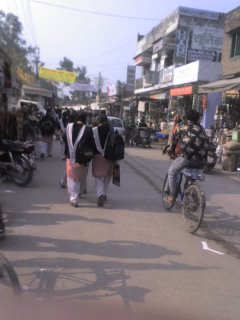
Feb. 20 - Mansehra, Pakistan
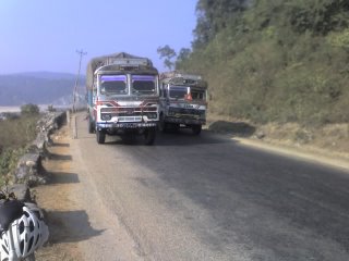
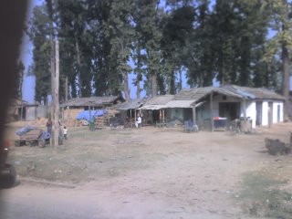
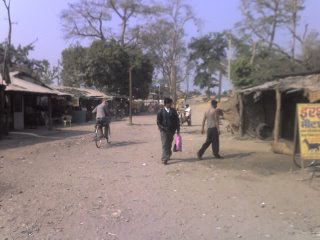
Terrible food last night and this morning had me scrounging - the more rural you get, the harder it is to find good food. But the Sun was shining brightly, there were no rainclouds in the sky, and the day promised to be a good one as I set off up the Karakoram Highway (KKH) from kilometre zero, at 1360 feet above sea level.
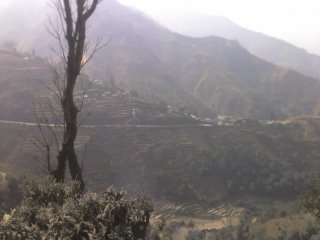
The first 60km of the KKH was through a dry, agricultural area, and the road sloped gently upwards through the alluvial plain. To the left and right loomed the Karakoram Mountains, and slowly they closed in on both sides. Finally there was nowhere left to go but up, over the first big pass of the KKH, the Salhad La (a 13km, 1600 foot climb). I knew it was coming, and was ready... and for some reason flew up it like it was nothing. I mean, I OWNED it. Sure, I was a bit tired at the top, but I couldn't believe how easy it was, for a climb equivalent to riding up the CN Tower, from base to tip. Huh. Very strange. Alrighty then. At the top, 4100ft above sea level, was Abbottabad, good for a drink stop.
This region, and for the next 100-200km, is very close to the epicentre of the earthquake that hit here last October, that killed thousands and left many thousands of others homeless. Occasionally as I rode along I passed tent camps, mostly organized by foreign countries/aid organizations, housing those displaced by the quake. Mansehra, where I'm staying tonight, is extremely close to the epicentre and has many, many camps scattered all around town. The camps are extremely well organized and built - I was surprised at how clean and orderly they are, as well as how much privacy they offer the occupants. Its really a United Nations event here... along the KKH I saw flags of many, many countries and agencies, it seems that countries and/or aid agencies are given individual camps to oversee. New Zealand, Unicef, Switzerland, Britain, etc etc, and eventually the Maple Leaf, which made me smile and feel lots of good things about my country.
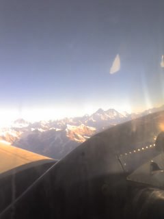
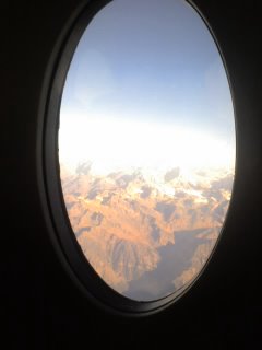
Coming into Mansehra I could see lofty, snow-clad peaks in the distance - the high Karakoram! I'll be cycling towards the base of many of them, including 8100m Nanga Parbat, one of the highest mountains in the world. Very exciting. I'm trying to figure out at which elevation the snowline is, which will give me an idea of how close to China it's possible to get... I'll probably know tomorrow. Food and accomodation are sparse along the KKH, especially in the Winter off-season, and I have very carefully planned out the next 4 days of riding to Gilgit, so as not to be stuck somewhere exhausted and without a place to sleep. I can risk exhausting myself in most places, but not here in the mountains, where I always have to keep a "reserve" of energy - just in case the unexpected happens.
